Viewer
See it in your browser
Open a link and the map is there. Pan a claim block, click a property, read its attributes. No install, no licence file, no GIS experience.
- Needs
- A browser
- Suits
- Anyone who has to look, not just the GIS team

Mineral claims · Geological surveys · Exploration data
Claims, survey geology and exploration datasets for Canada and beyond — read them in your browser, draw them onto your own map, or take the raw features. One subscription, three ways in.

Three ways in
The same data underneath. What changes is where it lands — a browser tab, your GIS project, or your own code.
See it in your browser
Open a link and the map is there. Pan a claim block, click a property, read its attributes. No install, no licence file, no GIS experience.
Draw it onto your own map
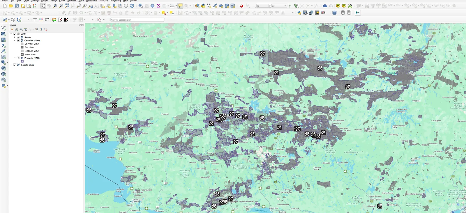
Point ArcGIS, QGIS or MapInfo at one URL and the layers render over your basemap, always current. Nothing copied to disk, so nothing goes stale.
Take the features themselves
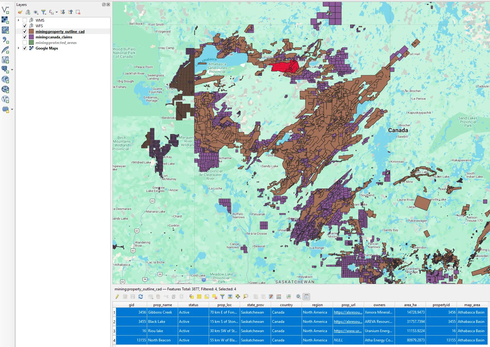
Geometries and attributes as data, not imagery. Select, measure, intersect, export — straight into your own processing and reporting.
Built to fit
Three things move independently. Change any of them when your work changes — you are not buying a package and growing into it.
Any combination of the three. The viewer for the wider team, WMS for the GIS desks, WFS where the data feeds something downstream.
Coverage is a property of your subscription, not a separate product. Extend it when your ground extends, across every solution at once.
Named accounts for your people, and a limit on how many are connected at once. A team that works in shifts needs fewer seats than heads.
That is why there is no price grid here. The combinations that matter are yours, and a quote for the wrong shape helps nobody — tell us the three answers above and we price that.
You never pay for ground you don't work, or for seats nobody uses.

WMS and WFS are open OGC standards. Your projects keep working with the software you already own, and nothing we do traps your work.
You connect to the data where it lives. No quarterly shapefile drop, no version of the truth sitting on someone's laptop.
We serve the layers you subscribe to. What you build over them — your drilling, your geochemistry, your models — never leaves your side.
Quotes are written by someone who reads what you sent. No configurator, no sales sequence, no card on file to start.
If it looks right
Everything that happens, in full — so there is nothing to find out afterwards.
A name, an email, a password. No card, no call to book, no sales sequence.
The full Canadian set — in the browser viewer and, if you want it, in your own GIS.
Tell us your three answers and we quote that shape. Access stops on its own if you'd rather leave it.
Nothing renews on its own. Ten days, then it stops unless you say otherwise.